








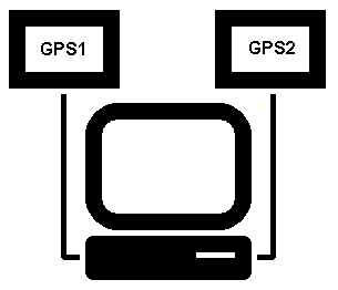
Use multiple sensors to recover hardware failures
Virtual instruments (speed, altitude, heading, depth, attitude, etc.) are projected on the map. Signal routing can be configured and multiple input channels are supported.
It is possible, for example, to use position sensors from different manufacturers and from different satellite systems (GPS, Galileo, Glonass). All add to the security of the system. Signal source is not limited to the satellite navigation; any standard NMEA 0183 signal source can be used (weather, sounder, velocity, heading, radar, etc.).
Each signal can have several signal sources. In case of failure, the signal falls to the next available sensor. This keeps your system running even if some parts of the system fails (hardware failure or loss of signal). For example, using two GPS sensors from different manufacturers is a good choice.
